
India News
Modi receives Jordan’s King Abdullah II at airport


India News
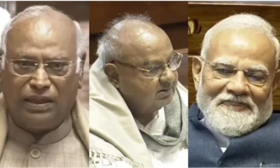
BJP says Mamata Banerjee not fit for constitutional post over remarks on PM Modi
BJP has criticised West Bengal Chief Minister Mamata Banerjee over her remarks on Prime Minister Narendra Modi, triggering a political controversy ahead of elections.

India News
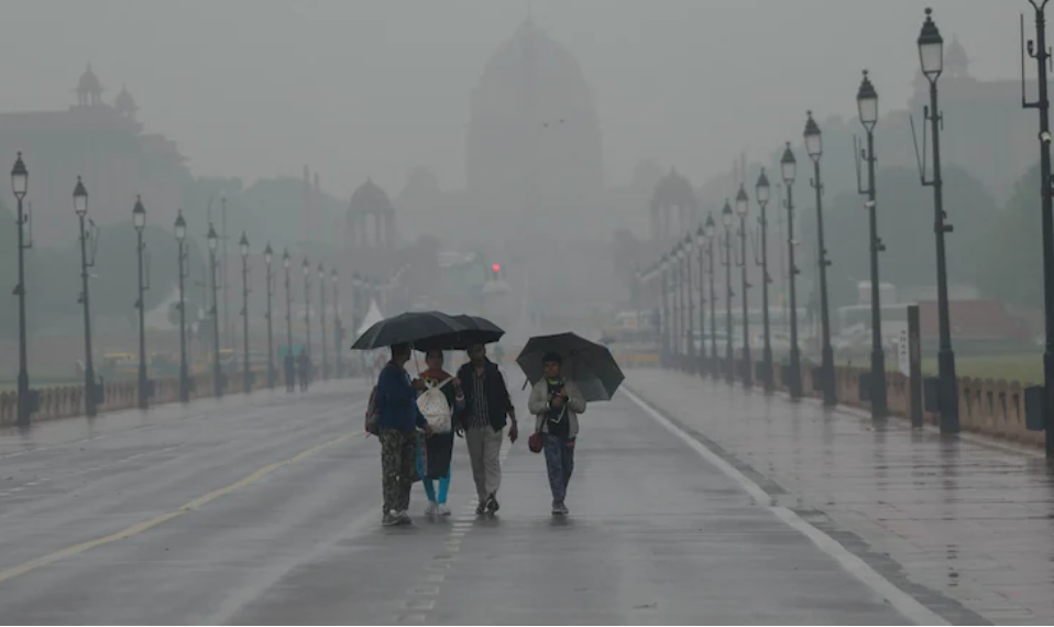
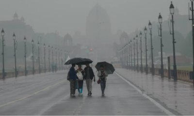
Delhi sees coldest March day in 6 years as air quality improves sharply
Delhi logs its coldest March day since 2020 as rainfall brings a sharp dip in temperature and significantly cleaner air.
India News
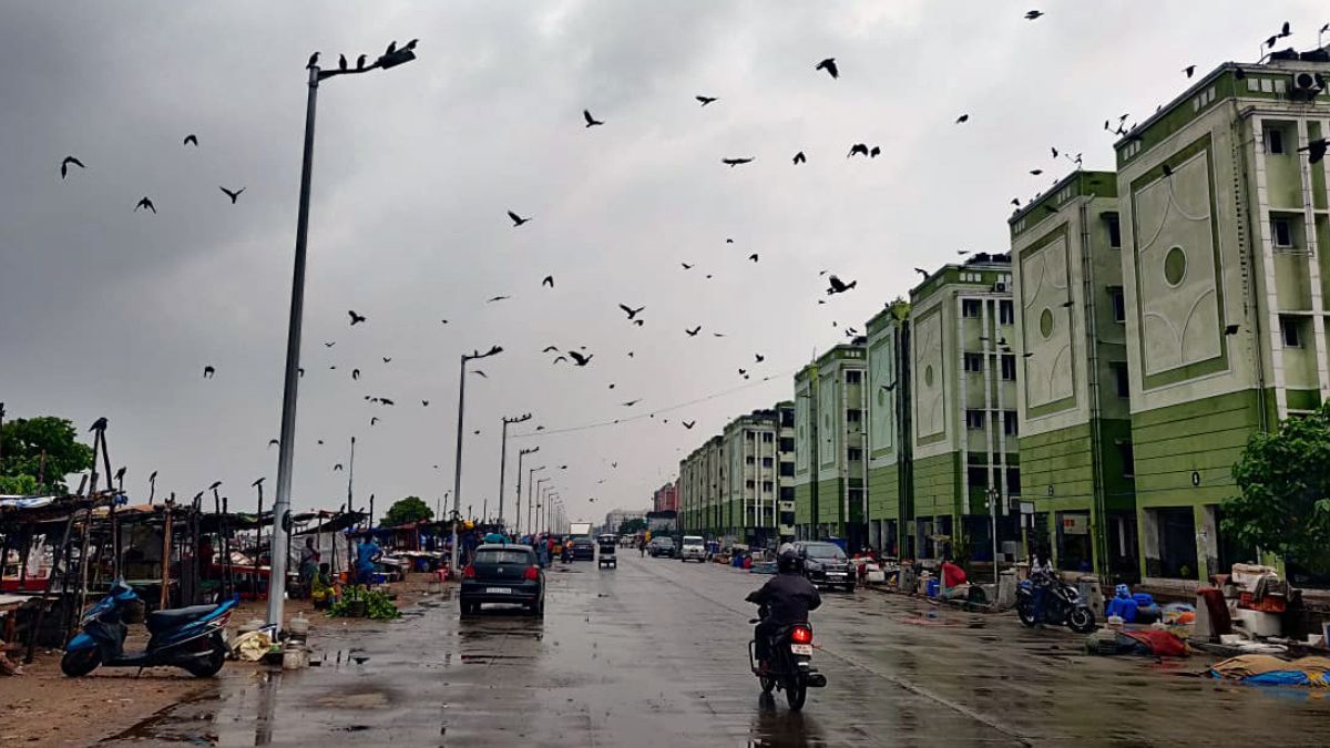
Late-March western disturbance brings 1,000-km rain band across India, Pakistan and Afghanistan
An unusual western disturbance has created a 1,000-km rain band, bringing widespread storms, rainfall and hail across parts of India and neighbouring countries.

Trump signals possible wind-down of Iran war as oil tensions rattle global markets

Delhi sees coldest March day in 6 years as air quality improves sharply

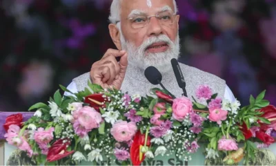
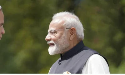
PM Modi discusses West Asia tensions with Bahrain King, condemns attacks on infrastructure

Dhurandhar 2 review: Ranveer Singh dominates Aditya Dhar’s high-octane sequel
Iran’s 4,000 km strike attempt raises concerns over undeclared missile range

BJP says Mamata Banerjee not fit for constitutional post over remarks on PM Modi
Iran’s 4,000 km strike attempt raises concerns over undeclared missile range
Trump signals possible wind-down of Iran war as oil tensions rattle global markets
Dhurandhar 2 review: Ranveer Singh dominates Aditya Dhar’s high-octane sequel
PM Modi discusses West Asia tensions with Bahrain King, condemns attacks on infrastructure
Afghan Men Try To Hang With The Jet Engine Of The Aircraft in Kabul- Afghanistan News – Kabul News
Trending Top 10 News: 10000 Crore Fine on Flipkart, Apple to Launch Unique Feature, Hdfc Bank Job Ad
Trending Top 10 News: Nokia 6310, Apple sales, Bachpan ka Pyar Video Kid, Dainik Bhaskar IT Raid
Trending Top 10 News: Canada bans Indian flights, Rain in Delhi NCR, AIMIM Twitter hacked, Raj Kundra case
Trending Top 10 News: Shein India, Apple New Service, Pocket Oxygen, Oppo Launched New Phone
-
 Latest world news12 hours ago
Trump signals possible wind-down of Iran war as oil tensions rattle global markets
-
 India News13 hours ago
Delhi sees coldest March day in 6 years as air quality improves sharply
-
 Latest world news13 hours ago
PM Modi discusses West Asia tensions with Bahrain King, condemns attacks on infrastructure
-
 Entertainment13 hours ago
Dhurandhar 2 review: Ranveer Singh dominates Aditya Dhar’s high-octane sequel
-
 Latest world news5 hours ago
Iran’s 4,000 km strike attempt raises concerns over undeclared missile range
-
 India News4 hours ago
BJP says Mamata Banerjee not fit for constitutional post over remarks on PM Modi