
India News
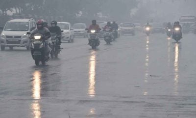
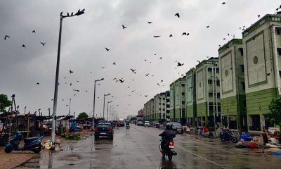
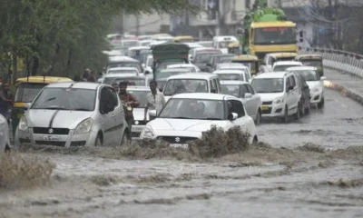
Satellite imagery shows major cloud surge across India, weather alerts issued for multiple states
A massive collision between hot summer air and shifting moisture zones has triggered a yellow weather alert across India’s northern states, while southern regions prepare for an early monsoon burst.


India News
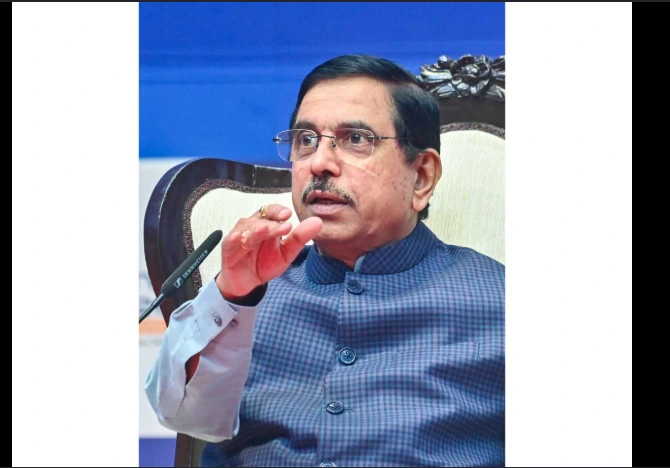
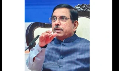
Pralhad Joshi appointed Education Minister after Dharmendra Pradhan’s resignation
Pralhad Joshi has been entrusted with the additional charge of the Education Ministry after President Droupadi Murmu accepted Dharmendra Pradhan’s resignation amid the prolonged student protests over alleged examination paper leaks.
India News
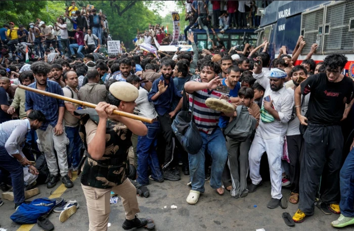
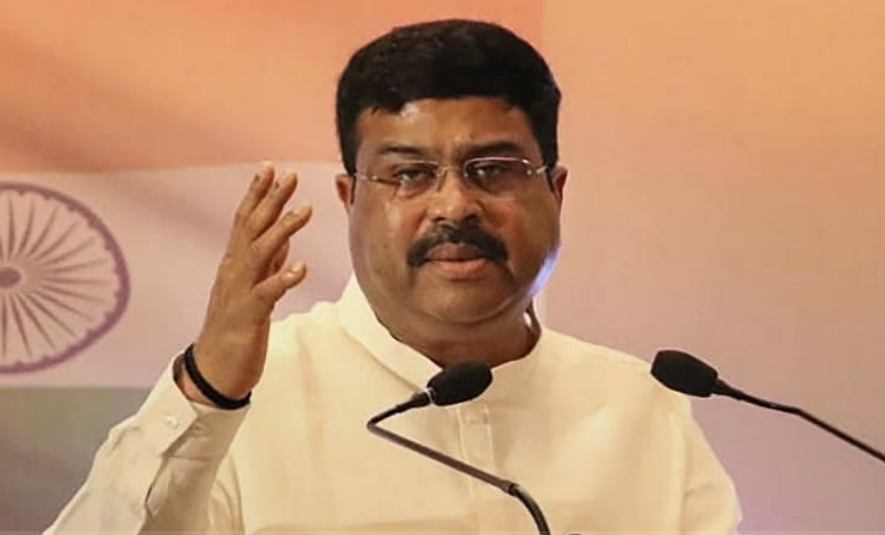
Dharmendra Pradhan submits resignation to PM Modi amid student protests
Education Minister Dharmendra Pradhan has submitted his resignation to Prime Minister Narendra Modi, hours before the third round of talks between the Centre and the Cockroach Janta Party.
India News
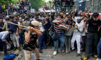
CJP says Dharmendra Pradhan’s resignation non-negotiable ahead of third round of talks
CJP has hardened its stand before the third round of talks with the Centre, insisting that Education Minister Dharmendra Pradhan’s resignation remains its primary and non-negotiable demand.

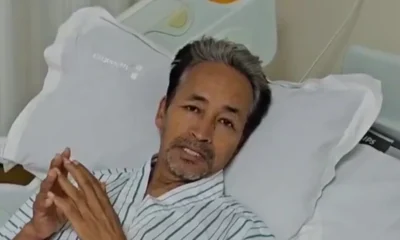
Sonam Wangchuk says students’ protection was priority over Pradhan’s resignation

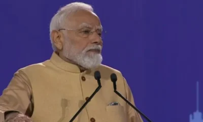
Government debunks fake AI videos of PM Modi, Piyush Goyal; blames Pakistani propaganda handles

Trump says Iran getting more serious in talks, no decision yet on major strikes

PM Modi’s Instagram reel on exam paper leaks crosses record 303 million views amid Jantar Mantar protests
Dharmendra Pradhan submits resignation to PM Modi amid student protests

Pralhad Joshi appointed Education Minister after Dharmendra Pradhan’s resignation
Dharmendra Pradhan submits resignation to PM Modi amid student protests

CJP says Dharmendra Pradhan’s resignation non-negotiable ahead of third round of talks
PM Modi’s Instagram reel on exam paper leaks crosses record 303 million views amid Jantar Mantar protests
Sonam Wangchuk says students’ protection was priority over Pradhan’s resignation
Afghan Men Try To Hang With The Jet Engine Of The Aircraft in Kabul- Afghanistan News – Kabul News
Trending Top 10 News: 10000 Crore Fine on Flipkart, Apple to Launch Unique Feature, Hdfc Bank Job Ad
Trending Top 10 News: Nokia 6310, Apple sales, Bachpan ka Pyar Video Kid, Dainik Bhaskar IT Raid
Trending Top 10 News: Canada bans Indian flights, Rain in Delhi NCR, AIMIM Twitter hacked, Raj Kundra case
Trending Top 10 News: Shein India, Apple New Service, Pocket Oxygen, Oppo Launched New Phone
-
 India News13 hours ago
Sonam Wangchuk says students’ protection was priority over Pradhan’s resignation
-
 India News14 hours ago
Government debunks fake AI videos of PM Modi, Piyush Goyal; blames Pakistani propaganda handles
-
 Latest world news13 hours ago
Trump says Iran getting more serious in talks, no decision yet on major strikes
-
 India News13 hours ago
PM Modi’s Instagram reel on exam paper leaks crosses record 303 million views amid Jantar Mantar protests
-
 India News8 hours ago
Dharmendra Pradhan submits resignation to PM Modi amid student protests
-
 India News12 hours ago
CJP says Dharmendra Pradhan’s resignation non-negotiable ahead of third round of talks
-
 India News1 hour ago
Pralhad Joshi appointed Education Minister after Dharmendra Pradhan’s resignation